|
©The Archaeological Settlements of Turkey - TAY Project
|
|
|
|
|
|
Tepecik |
|
|
For site maps and drawings please click on the picture...  |
For photographs please click on the photo... 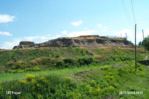 |
|
Type:
|
Mound |
|
Altitude:
|
1670 m |
|
Region:
|
Eastern Anatolia |
|
Province:
|
Erzurum |
|
District:
|
Pasinler |
|
Village:
|
Tepecik |
|
Investigation Method:
|
Excavation |
|
Period:
|
|
|
|
|
 |
|
| It lies 1 km south of the Aras River; some 7-8 km southeast of Pasinler District; east of Erzurum Province. Küçükçay; a tributary of Aras; flows from inside the village. It was excavated by H.Z. Kosay. Materials recovered from the site are preserved at the Erzurum Archaeological Museum. The excavation results have not been published. The mound is rich in surface material and was continuously occupied beginning from the EBA. The pottery has similarities with the Sos Höyük material. It takes place in the registered archaeological sites list prepared by Ministry of Culture and Tourism. |
| Location: |
| Geography and Environment: |
| History: |
| Research and Excavation: |
| Stratigraphy: |
| Small Finds: |
| Remains: |
| Interpretation and Dating: |