|
©The Archaeological Settlements of Turkey - TAY Project
|
|
|
|
|
|
Tosun Höyük |
|
|
For site maps and drawings please click on the picture...  |
For photographs please click on the photo... 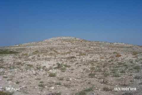 |
|
Type:
|
Mound |
|
Altitude:
|
960 m |
|
Region:
|
Central Anatolia |
|
Province:
|
Aksaray |
|
District:
|
Eskil |
|
Village:
|
Tosun |
|
Investigation Method:
|
Survey |
|
Period:
|
|
|
|
|
 |
|
| It lies 1.2 km south-southwest of Tosun Village of Eskil district; east-northeast of Aksaray Province. Akkas Village is approximately 2 km northwest of the mound. It takes place in the registered archaeological sites list prepared by Ministry of Culture and Tourism. |
| Location: |
| Geography and Environment: |
| History: |
| Research and Excavation: |
| Stratigraphy: |
| Small Finds: |
| Remains: |
| Interpretation and Dating: |