|
©The Archaeological Settlements of Turkey - TAY Project
|
|
|
|
|
|
Emirhisar |
|
|
For site maps and drawings please click on the picture...  |
For photographs please click on the photo... 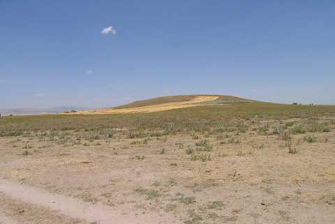 |
|
Type:
|
Mound |
|
Altitude:
|
1035 m |
|
Region:
|
Aegean |
|
Province:
|
Afyonkarahisar |
|
District:
|
Sandikli |
|
Village:
|
Emirhisar |
|
Investigation Method:
|
Survey |
|
Period:
|
EBA II |
|
|
|
 |
|
| It lies about 300 m north-northeast of Emirhisar Village; west of Sandikli; southwest of Afyonkarahisar Province. To the south flows a stream. It is 50 m north-northeast of Sandikli-Hocalar road. It was discovered by J. Mellaart. It is an EBA II settlement. It is included in the guide of the Afyon Archaeological Museum. |
| Location: |
| Geography and Environment: |
| History: |
| Research and Excavation: |
| Stratigraphy: |
| Small Finds: |
| Remains: |
| Interpretation and Dating: |