|
©The Archaeological Settlements of Turkey - TAY Project
|
|
|
|
|
|
Kemiklihan |
|
|
For site maps and drawings please click on the picture...  |
For photographs please click on the photo... 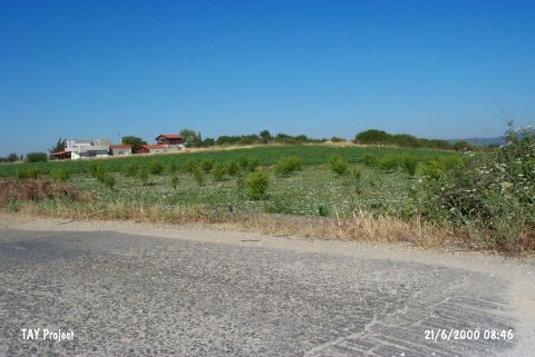 |
|
Type:
|
Mound |
|
Altitude:
|
25 m |
|
Region:
|
Marmara |
|
Province:
|
Çanakkale |
|
District:
|
Lapseki |
|
Village:
|
Suluca |
|
Investigation Method:
|
Survey |
|
Period:
|
EBA II |
|
|
|
 |
|
| It lies on a slope by the shore of the Marmara Sea; 1 km northeast of Kemiklihan Village; about 9 km northwest of Lapseki District; Çanakkale Province. Domuzlubas stream flows immediately east of it. There is another stream known as Kemiklihan to the north and northwest and it is the border between Suluca and Kemiklihan villages. The mound is located in the fertile land on the ridge between the shallow and small valleys formed by these two streams. This area is locally known as Domuzlubas Mevkii. It was discovered in 1964 by D.H. French. EBA and Troy I pottery was collected from the surface. |
| Location: |
| Geography and Environment: |
| History: |
| Research and Excavation: |
| Stratigraphy: |
| Small Finds: |
| Remains: |
| Interpretation and Dating: |